
Southern Sierra PCT Weather Update, 5/14/23:
- Yellow Flag = 11,500-feet and above
- Red Flag = 10,000-feet and below
2 critical changes have developed, weather-wise, for the High Sierra and its huge snowpack,
Monsoonal moisture is blowing in from the Gulf of Mexico bringing warm rain and
High Pressure has built in off the Oregon coast to block the two storms headed for CA!
Meanings:
- High country overnight lows will be rising into the low 30s bringing the advent of the spring Thaw with its soft, postholey, sun-cupped snow requiring very early morning snow-hiking.
- Rain will further soften the snowpack accelerating the Thaw and
- Creeks will grow in volume and speed to undercut snow bridges (collapse them in many places) and force thru-hikers to start searching upstream for intact ones or safe, flat, shallow crossings.
Below the Thawline and on down toward lower elevations where the Snowline is receding, all those millions of acres of snow will be “soup” and melting fast.
Middle and low-elevation creeks will become uncrossable rivers and the low-elevation rivers will flood.
Beware and plan accordingly!
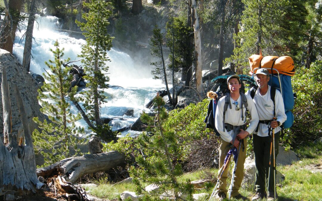
[photo: usually benign cascade in LeConte Canyon, but not during the Thaw!]