
This is the gist of the CA/Sierra snow story at the moment based on elevation bands:
13k – 10k: this elevation in the Sierra is still receiving sporadic snowfall under cold and cloudy skies. This will continue for another week, if not longer, as another winter storm approaches from the Pacific. The snow is consolidating, but not re-freezing due to intermittent rain, so expect short days full of struggle and postholing as snow bridges start failing and collapsing while hikers try to hike at night.
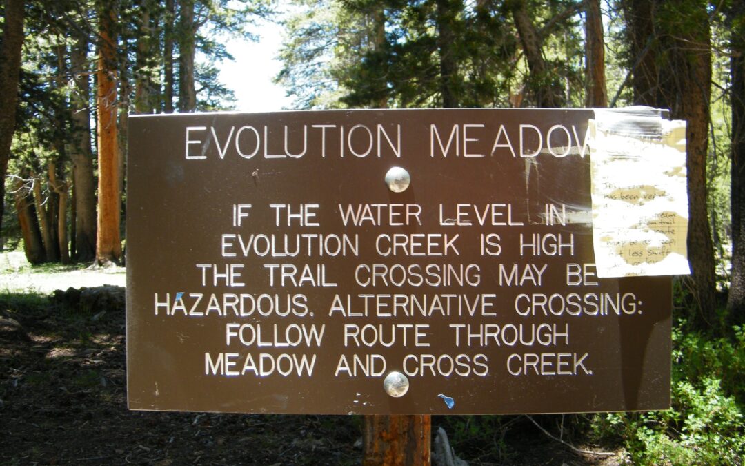
10k – 8k: there has been a lot of thawing-out going on transforming the landscape into mush, suncups, and lots of postholing for miles. Southern aspects are thinning out, but there’s still lots of snow on the northern and eastern ones. Creeks are filling, rising, rushing, and becoming too dangerous to wet-ford. This is the danger-band at this point in the Thaw.
8k – 6k: this elevation band has been thawing out for a few weeks, so will have soft snow in patches or longer, but thinning with a rising snowline. This will be what you’ll have to deal with for the rest of your summer as you head north.
6k – 4k: as you go north, the average trail elevation lowers into this elevation band where there’s still lots of feet of deep snow on into Oregon. NorCal, however, is (actually) getting hotter and some snow is melting off the trail, but cold air temps with some snowfall has crept back into the region making for snow remaining on northern aspects and in the shade.
Below snowline, wherever it might, actually, be for you when you get there, expect trails full of running water, mud, and flooded meadows and creeks (the fords, thereof, will be either bridged or wide and shallow; ymmv).
In Sum:
PCT thru-hikers stepping out of the High Sierra for whatever reason, pick a flip-to destination (anywhere north of Sonora Pass), check your maps for the trail elevations in the area, and expect to find the conditions, above.
Due to the vast quantities of snow the west coast received this winter and this slowly arriving Spring/Summer (which is a good thing for flooding), NoBo PCT thrus had best get used to snow and muck-hiking for the rest of the summer, at least off-and-on, again.
The good thing about flipping north (at this point in this rare season) is two-fold,
– more of the route is less steep than the High Sierra, so the slow-going and risks of falling are less, and
– the creeks are smaller and often bridged (unless the bridge is broken or missing due to the winter’s snow or the spring’s flooding).
However, the Red Flag is still covering the course between TM and Sonora Pass due to the dangerous creek crossings in the northern washboard of Yosemite during the Thaw at those elevations!
Addendum:
Google Meet to discuss all this?
A few weeks ago, I set up a Google Meet so I could advise PCT thru-hikers sitting on the porch of the Kennedy Meadows General Store and thinking about entering the High Sierra on its record snowpack. There was an hour’s presentation on all subjects regarding snow-hiking safety, then another hour of Q&A.
It’s time to do it, again, as the conditions in the Sierra at PCT/JMT trail elevation are changing rapidly as the Thaw arrives, the snow bridges fall, the creeks rise, and the snowpack softens!
Let me know in the comments, below, if this sounds good and when you (PCT thru-hikers, primarily, but JMT hopefuls are welcome, too, as your time is approaching) can be within internet range to join in!