
2023 Sierra, Current PCT thru-hiker intel:
Snowline, So. Sierra: 7500-feet
Snowline NorCal: 4300
“Open,” low-flow creeks between 8,000-feet and 10,000-feet (water accessible) with soft, unsupportive, and melting snow
Thawline above 10,000-feet with the following conditions:
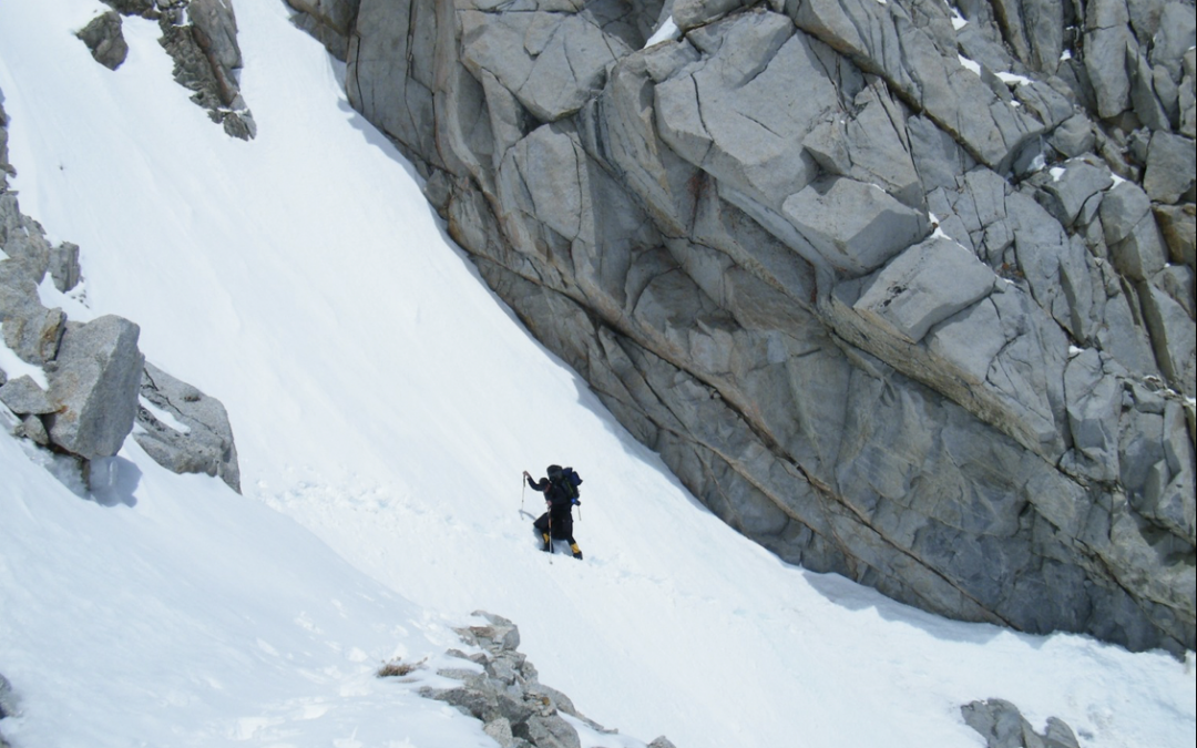
- Hard, consolidated, freeze-thaw snowpack for easy snow-hiking with traction devices and a self-arrest tool,
- Intact snow bridges are present for safely crossing “open” creeks above 10,000-feet,
- No suncups or postholing, yet
- The deeper snowpack exists above 10,000, and
- Cornices and ice present on ridges and passes.
Translation (what this means to the NoBo PCT thrus yet to leave KMS and what they will see):
Creeks:
Huge, swollen creeks and rivers below 7500-feet, but there will be an obvious dry trail up to snowline.
There will continue to be “open” and moderately swollen creeks between 7500-feet and the Thawline at 10,000-feet with those creeks becoming more and more snow-covered the closer you get to it in elevation.
Snow bridges over creeks below the Thawline are not to be trusted as they are softening, melting, and thinning. Devise your own ways of evaluating and testing each possibility before crossing!
Snow (from Snowline to Thawline):
The snow will be melting in a hurry at lower elevations, due to warm ambient temperatures during both the day and night, so expect any you find across the trail to be soft and “postholey.”
The snow at snowline will be patchy (here and there and, especially, in the shade) and found, predominantly, on north-facing slopes and in the shade.
The higher you ascend, the thicker, deeper, colder, and more pervasive the snow will get, to the point where you may be able to walk on it without postholing through.
Snow (Thawline and above):
As you gain in elevation and once the snow is thick or deep enough while the nighttime lows dip below freezing every night, you’ll find that the snowpack will support your weight quite well for most of the day (wear traction devices).
The snow’s condition, as each day warms from hour to hour, dictates what you can or must do.
– While it’s surface is re-frozen and hard from the previous night’s sub-freezing temperatures, you can walk on top of it. It will be very slippery, so wear traction devices and carry a self-arrest device when on steep slopes!
– During the morning’s sunlight on and warm winds over the snow, its surface will soften deeper and deeper until it can no longer hold your weight anymore and you will start postholing and struggling to make forward progress.
The key to snow-hiking is walking on the snow only when it can support your weight and that is only while it is still frozen, thus, the idea of walking during the near-freezing twilight hours of dawn and until the snowpack gets too warm in the morning to hold your weight, then camp.
Creeks may be entirely covered above the Thawline, “open” only via “portholes” scattered here and there along their course, or completely visible or “open” for entire stretches.
Snow bridges above the Thawline, composed of deep and solidly re-frozen snow, will likely hold your weight, but based on your knowledge and experience of the amount of support the snowpack is giving you in the area, always evaluate and test every possible route across before crossing.
As you descend off the passes and progress lower and lower in elevation, expect to find warmer, softer snow in various stages of melt below the current Thawline along with postholing, dancing over suncups, boot-skiing, or glissading where you can, until you get back down below the snowline and find the summer trail to follow.